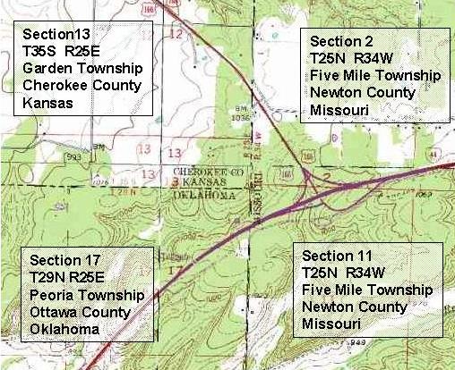
The Public Land Survey System is a manner of dividing and describing US public domain lands through a series of rectangular grid surveys, according to standards set by the Bureau of Land Management. PLSS maps are usually divided into 6 mile square townships, which are then sub-divided into 36 one mile squares.

No comments:
Post a Comment